Earth observation becomes useful when the measurement, the physical process and the institutional question line up. The same satellite can support different investigations—but no single method is a universal service.
Choose the application to explore
Each field below has distinct mechanisms, scales and reference requirements. Follow a route to see what the sensor can contribute, what else is needed and where an observation stops short of a conclusion.
Institutional application areas
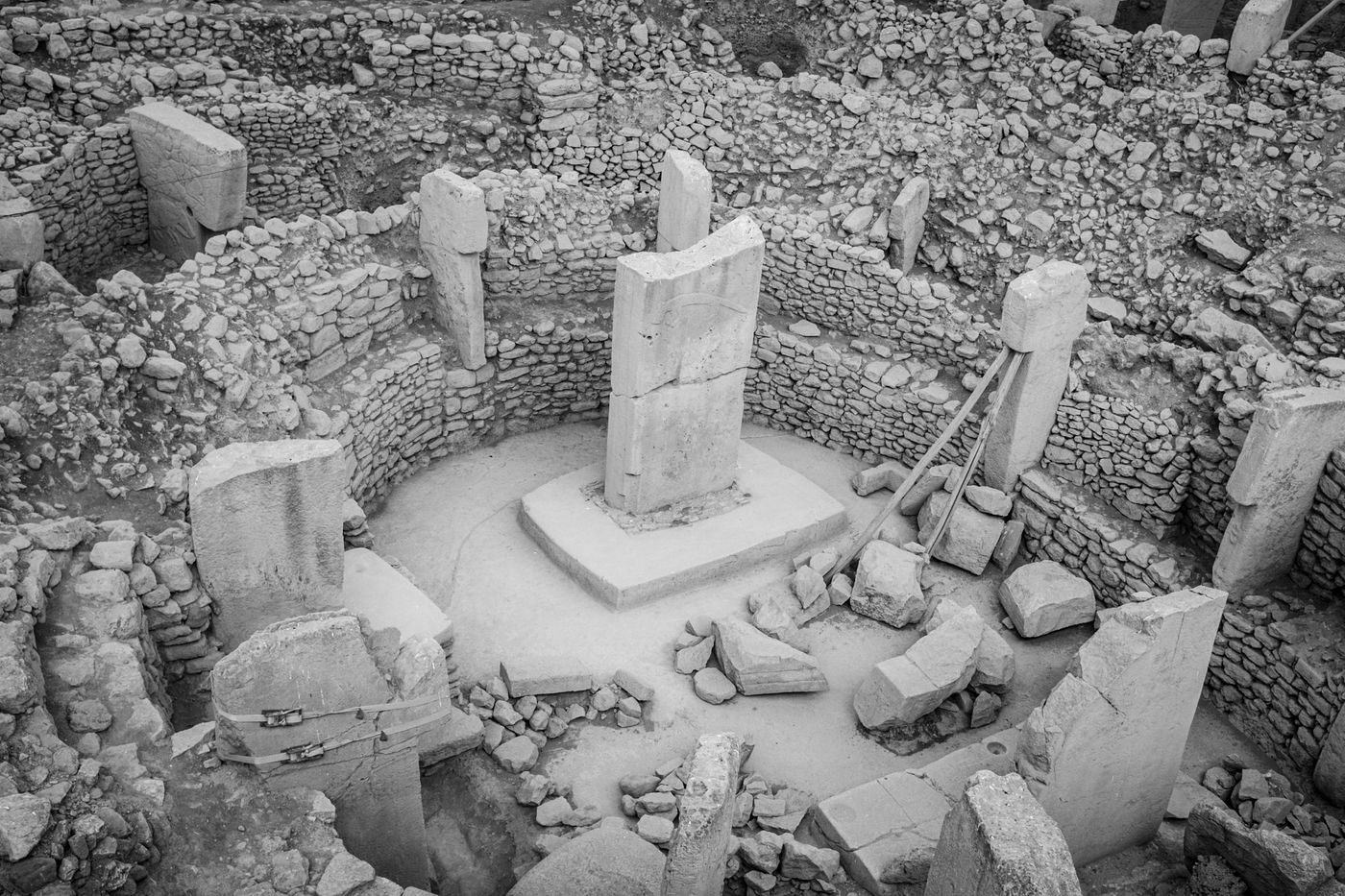
Archaeology & cultural heritage
Assessing how Earth-observation records may support landscape context, site stewardship and change monitoring around cultural heritage.
Explore the research ↗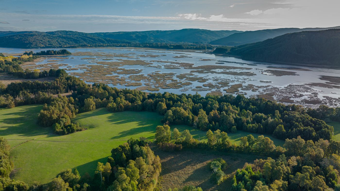
Environmental observation
Scoping observation questions concerning coastlines, wetlands, forests, glaciers and other changing environments.
Explore the research ↗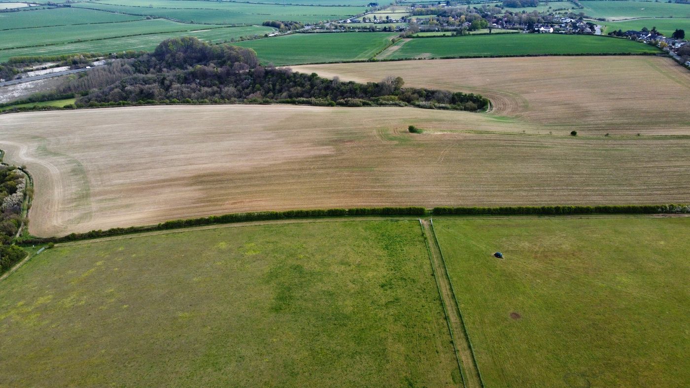
Agriculture & vegetation
Exploring whether repeated radar observations can contribute to a specific agricultural or vegetation question.
Explore the research ↗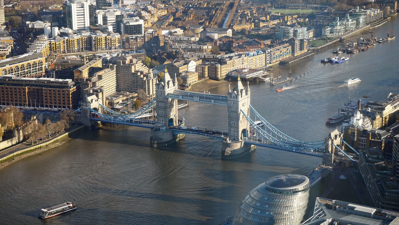
Infrastructure
Assessing whether time-series observations could support a defined study of surface change near infrastructure.
Explore the research ↗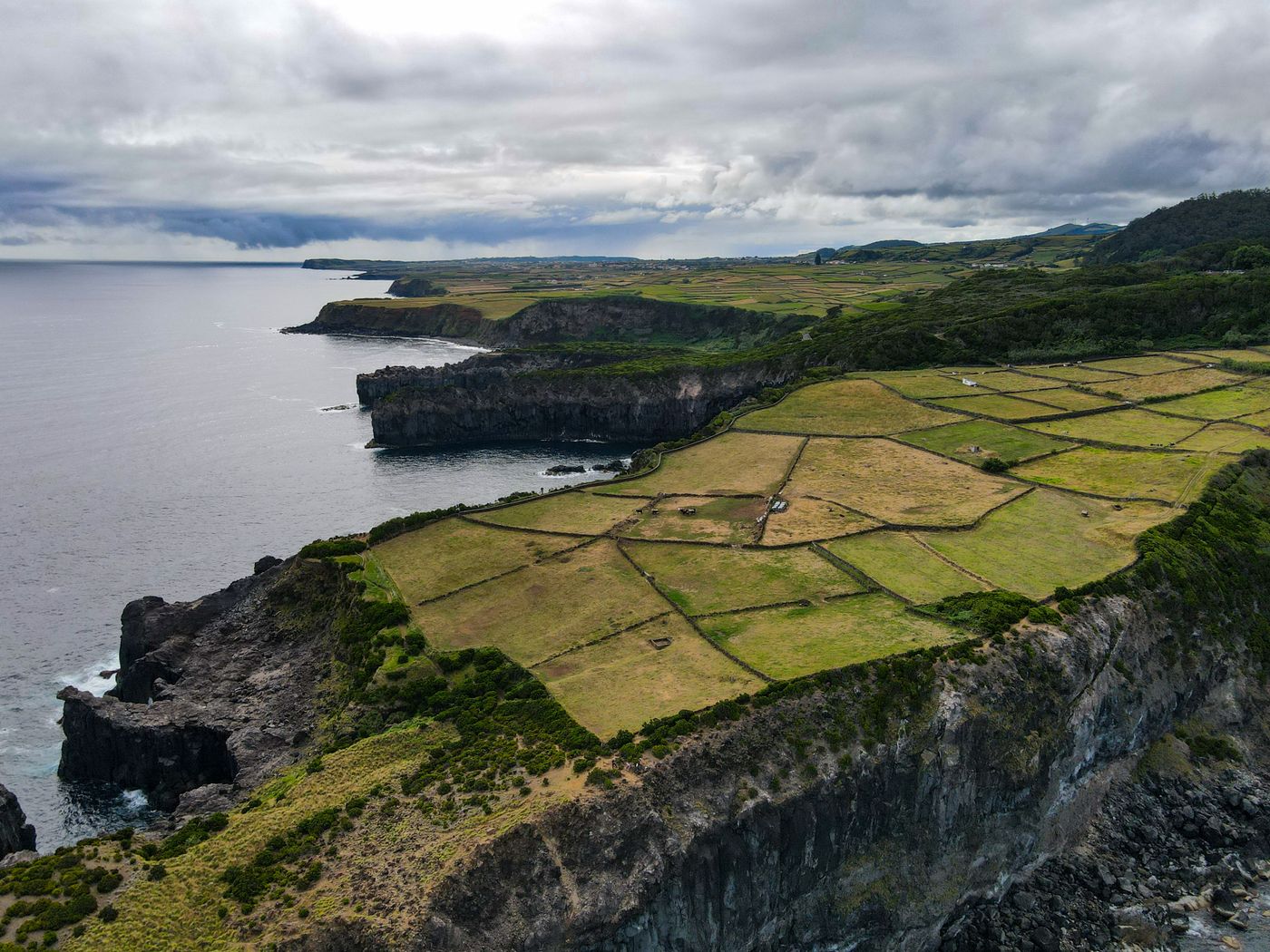
Geological monitoring
Scoping the use of radar time series to investigate surface deformation in geological settings.
Explore the research ↗
Disaster response
Evaluating whether available Earth-observation acquisitions could contribute to a defined response or recovery question.
Explore the research ↗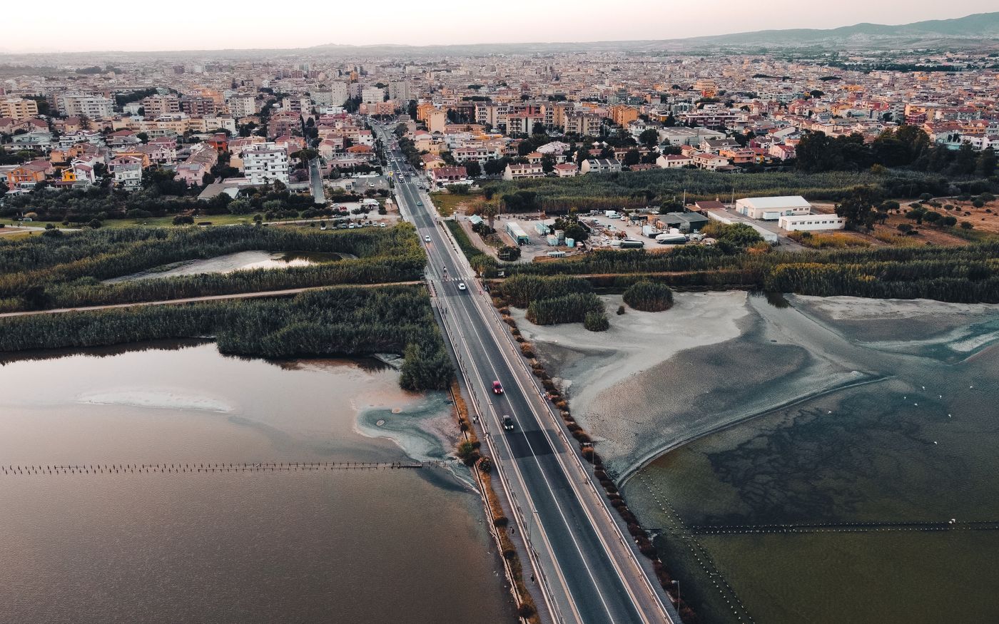
Territorial analysis
Combining authorised geospatial evidence to examine regional change, resilience or planning questions.
Explore the research ↗
Maritime & coastal observation
Assessing whether radar observations can support a bounded study of coastal change, maritime conditions or vessel-like detections.
Explore the research ↗